About the Journal

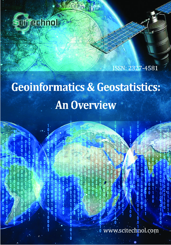
Geoinformatics & Geostatistics: An Overview is a peer-reviewed scholarly journal and aims to publish the most complete and reliable source of information on the discoveries and current developments in the mode of original articles, review articles, case reports, short communications, etc. in all major themes pertaining to Geographical Studies and making them available online freely without any restrictions or any other subscriptions to researchers worldwide.
Geoinformatics & Geostatistics: An Overview focuses on the topics that include:
- Geographic Information Science (GIScience)
- Geographic Information Technology
- Geography Studies
- Geostatistics and Geocomputation
- Geo visualization
- Geo-spatial Intelligence
- Spatial Decision Support Systems
- Remote sensing
- Web mapping
- Land cover and land use changes
- Cartography
- Geodesy and Geoportal
- Photogrammetry
- Geophysical Modeling and Interpretation
The Journal is using Editorial Tracking System for quality in review process. Editorial Tracking is an online manuscript submission, review and tracking system. Review processing is performed by the editorial board members of Geoinformatics & Geostatistics: An Overview or outside experts; at least two independent reviewers approval followed by editor approval is required for acceptance of any citable manuscript. Authors may submit manuscripts and track their progress through the online tracking system, hopefully to publication.
Manuscripts can be submitted via Online Submission System or send as an e-mail attachment to the Editorial Office at editorialoffice@scitechnol.com
*2018 Journal Impact Factor is the ratio of the number of citations achieved in the year 2018 based on Google Search and Google Scholar Citations to the total number of articles published in the last two years i.e. in 2016 and 2017. Impact factor measures the quality of the Journal.If ‘X’ is the total number of articles published in 2016 and 2017, and ‘Y’ is the number of times these articles were cited in indexed journals during 2018 then, impact factor = Y/X.
Geographic Information Science (GIScience):
Geographic Information Science (GIScience) is the information system with advanced computer technology used to evaluate, design, edit and visualize the geographic information from the database. Geographic Information Science is used in the disciplines of social, environmental, biological, health and engineering sciences.
Geographic Information Technology
Geographic Information Technology is the major field using the various advanced technologies for the capturing, storing and displaying data related to geographical systems. Geographic Information Technology covers all the essential data in the study.
Geo-visualization:
Geo-visualization, the field in geographical sciences constitutes the various techniques and tools for understanding, interpretation, assessment and interactive visualization of geospatial data. Geo visualization deals with interaction techniques and combined visual and computational mining of geospatial data.
Geo-spatial Intelligence:
Geo-spatial Intelligence is the field in geological sciences wherein the intelligence of human activity on earth is assessed in exploitation and analysis of geospatial data and visually depicts physical features (both natural and constructed) and geographically referenced activities on the Earth. Geo-spatial Intelligence is used as imagery as map-based intelligence and geospatial information in support of the nation's military forces, national policy makers and civil users.
Spatial Decision Support Systems:
Spatial Decision Support Systems is a computer based interactive system structured to help the user or group of users in making a decision while dealing with the semi-structured spatial problems. Spatial Decision Support System is the advancement to many calculations in geographic studies.
Remote Sensing:
Remote Sensing is the advanced technology in geography which deals with the science of observing or recording the objects or events which are far away i.e. remote places such as earth’s surface and atmosphere using sensors onboard platforms. Remote Sensing deals with various topics like Radio meters, Photo meters, RADAR, LIDAR, Hyper spectral imaging.
Web Mapping:
Web Mapping is the field of geographical sciences dealing with the use of maps delivered by geographical information system. Web Mapping generally uses a web browser or other user agent capable of client-server interaction.
Agro-ecosystem Modeling:
Agro-ecosystem Modeling is the most advancing technology for agricultural analytics. Agro-ecosystem Modeling is the geographical approach of assessing the information related to agriculture by using several geographical techniques for its statistics and information generation.
Agro-Geoinformatics:
Agro-Geoinformatics, a branch of geoinformatics, is the science and technology dealing with the digital agro-geoinformation, such as collection of data through remote sensing, processing, storing, retrieving, transmitting and visualization agro-geoinformation. Agro-Geoinformation is crucial for the agricultural sustainability, food security, environmental research, etc.
Geodetic Systems:
Geodetic system is the widely used technology wherein, it consists of a coordinate system along with the set of reference points used to locate places on earth. Geodetic systems are used in surveying by cartographers and satellite navigation systems.
Land-Use and Land-Cover Change:
Land-Use and Land-Cover Change (LULCC) is the term majorly used for the human modification on earth surface. Scientists are in vast research on the Monitoring and mediating the negative consequences of LULCC. Land-Use / Land-Cover Changes (LULCC) affect climate through impacts on surface albedo, sensible and latent heat fluxes, the boundary layer temperature-moisture profile, and the partitioning of rainfall between evaporation, transpiration and runoff.
Global Navigation Satellite Systems:
Global Navigation Satellite Systems is the advanced technology of satellite system that is used to provide signals from space for geographic positioning and timing of data anywhere in the globe. A GNSS system employs a constellation of orbiting satellites working in conjunction with a network of ground stations.
Cartography:
Cartography is the art of science which involves representation of data such as geographical area on a flat surface like map or chart graphically. Cartography is widely used in geological studies for easy evaluation and comparision of data.
Geodesy and Geoportal:
Geodesy or Geodetics engineering is the associated field of geological sciences including applied mathematics and earth sciences with the measurement and understanding of the earth’s shape, orientation and its gravity. A geoportal is the basic web portal used to access geographic information and associated geographic services through the Internet.
GeoComputation:
GeoComputation is the field of geographical sciences which uses the computer technology such as neural networks, cellular automata, etc for the spatial data analysis, geographic data assessment, storage and updating. GeoComputation seeks to investigate problems in geographic studies in their spatial context.
Photogrammetry:
Photogrammetry is the field of research in geographical sciences used for making measurements through photographs, for recovering surface points on earth. Photogrammetry uses high-speed imaging and remote sensing techniques to detect, measure and record complex 2-D and 3-D motion fields.
Geo-Data Techniques :
Geo-Data Techniques is the field of geography which uses various techniques for the collection, storage and updating of Geographic data obtained at several instincts for its future comparison with the advanced data.
Geodynamics
Geodynamics is the associated field of geophysics which deals with the earth dynamics in combination with fields of mathematics and chemistry. Geodynamics generally use data from geodetic GPS, InSAR, and seismology.
Geography Studies
Geography Studies is the science of dealing with the geography of Earth's landscapes, peoples, places and environments. Geography Studies include the studies of assessing environmental studies, spatial studies, satellite events etc.
Geophysical Modeling
Geophysical Modeling and Interpretation is the applied science of creating computerized representations of the Earth based on geophysical and geological observations and their interpretation results with the comparative studies. Geophysical Modeling and Interpretation deals with development, and evaluation of numerical models of the Earth system and its components.
Geothermal Engineering
Geothermal Engineering, field of engineering which deals with the thermal energy studies obtained from the earth. Temperature studies including studies of natural disasters can be assessed in geothermal studies.
Geostatistics
Geostatistics is the combined field of geography and statistics. Geostatistics focuses on modeling spatial data using spatiotemporal datasets. Geostatistics is used majorly in Epidemiology and planning studies.
Fast Editorial Execution and Review Process (FEE-Review Process):
Geoinformatics & Geostatistics: An Overview is participating in the Fast Editorial Execution and Review Process (FEE-Review Process) with an additional prepayment of $99 apart from the regular article processing fee. Fast Editorial Execution and Review Process is a special service for the article that enables it to get a faster response in the pre-review stage from the handling editor as well as a review from the reviewer. An author can get a faster response of pre-review maximum in 3 days since submission, and a review process by the reviewer maximum in 5 days, followed by revision/publication in 2 days. If the article gets notified for revision by the handling editor, then it will take another 5 days for external review by the previous reviewer or alternative reviewer.
Acceptance of manuscripts is driven entirely by handling editorial team considerations and independent peer-review, ensuring the highest standards are maintained no matter the route to regular peer-reviewed publication or a fast editorial review process. The handling editor and the article contributor are responsible for adhering to scientific standards. The article FEE-Review process of $99 will not be refunded even if the article is rejected or withdrawn for publication.
The corresponding author or institution/organization is responsible for making the manuscript FEE-Review Process payment. The additional FEE-Review Process payment covers the fast review processing and quick editorial decisions, and regular article publication covers the preparation in various formats for online publication, securing full-text inclusion in a number of permanent archives like HTML, XML, and PDF, and feeding to different indexing agencies.
 Spanish
  Chinese
  Russian
  German
  French
  Japanese
  Portuguese
  Hindi
Hindi 


